Dartmouth's physical and digital map collections are available for your next research project!
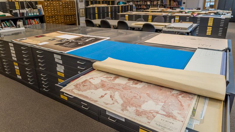
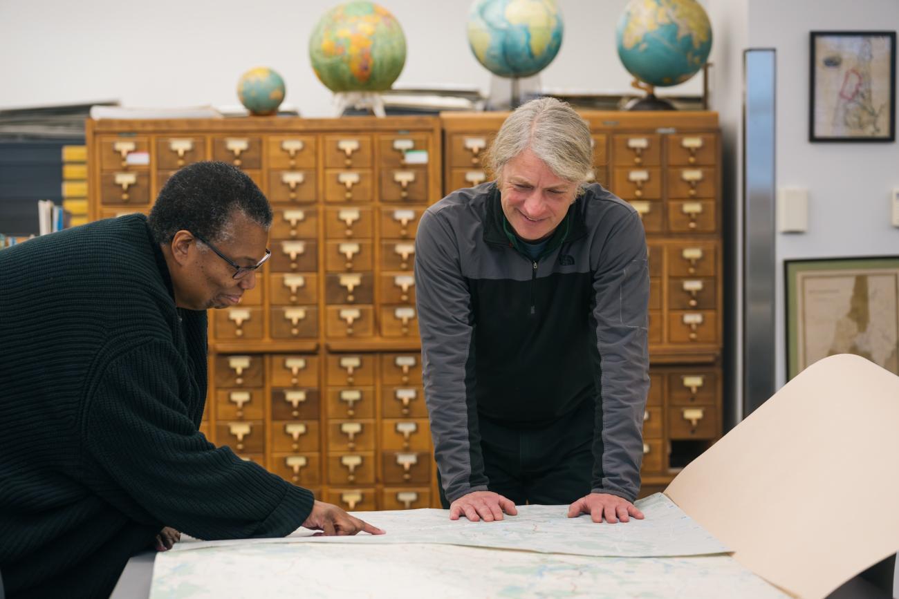
In the Evans Map Room, explore a collection of over 155,000 sheet maps and 2,000 atlases, books, journals, globes, aerial photos, and more. We also house some maps received through US Federal and Canadian depository programs, map reference materials, works on cartography, and gazetteers.
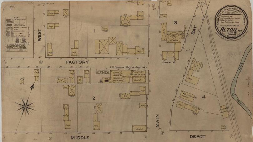
Besides representing the shape of the land and sea on our planet, a map can show natural phenomena: rocks, soil, climate, ocean currents, wildlife, vegetation; or human-made/human-related features: roads, buildings, population, disease, agriculture, industry, religion, political boundaries, government.
A map is similar to a graph, with statistics and comparisons instantly visualized. Maps are not confined, however, to coverage of the earth. One can find charts or maps of the moon, Mars, Mercury, the heavens, the land of Oz, or Dante's hell.
A Unique Focus
Although the collection is international in scope, it has particular geographical emphasis for:
- Hanover and environs
- New Hampshire and Vermont
- New England region
- Northeastern States (New England plus New York, Pennsylvania, and New Jersey)
- Polar Regions
The System
The Evans Map Room houses resources in the following Library of Congress classifications:
- G 1001 - G 3102: Atlases (bound collections of maps)
- G 3160 - G 9999: Maps (representations, usually on a flat surface, of the whole or part of an area)
Are you searching for researchers on cartography or the history of cartography? The Libraries shelve most of these books in the Baker-Berry main stacks.
Digital Collections
Browse our digital collections showcasing local area maps.
Using Collections
Using Collections
- You can check out maps published after 2011 for up to two weeks.
- For maps published in 2010 or earlier, you'll need to access and view them in the Evans Map Room. If the map fits in our scanner, we'll make you a digital copy.
- Our books are for use only in Evans Map Room.
- Did you request items from the Art Special Collection or materials noted as “in-Library Use Only?” You can view these requested items in the Evans Map Room. Stop by our service desk to collect your requested items.
- Please remember, out of care for our collections, that you do not consume food or drink (even water) in our spaces.
Map-Related Resources
Explore the vast landscape of maps online from sources such as the Library of Congress, United States Geological Survey, National Oceanic and Atmospheric Administration, and more! Whether you're interested in weather maps, topographic maps, insurance maps, or something else, we've curated the best for your ease of access.