Welcome to Evans Map Room!
Named in honor of Barbara and R. Bradford Evans '64, the Map Room collection consists of over 189,000 sheet maps and 3,000 atlases, books, aerial photos, globes, and more. Although, international in scope, the collection has a particularly strong focus on New Hampshire, the Upper Connecticut River Valley, and New England.
What's Inside
- Staff expertise
- GIS software
- Study spaces
- Large format printing and scanning
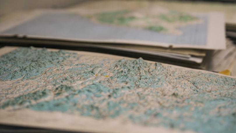
- Maps, globes, and atlases
Subjects
Outside of some supersaturated computer software, there is no more concentrated form of data presentation than the map.
Lawrence Spellman
Resources and Services
ArcGIS Software
Dartmouth offers multiple ways to access ArcGIS software: use the web-based ArcGIS Online or StoryMaps with our site license, download ArcGIS Pro for Windows PCs (QGIS is recommended for Mac and Linux users), or access ArcGIS Pro pre-installed on Evans Map Room workstations.
Large Format Printing and Scanning
Though not a traditional printing service, Evans Map Room can print your large-format posters with our plotter. Interested? Plan your projects well in advance as this service is quite popular.
Scan
We have a large format scanner. However, there are things we can scan, things we cannot scan, and things you should know before asking us to scan an item.
Collections
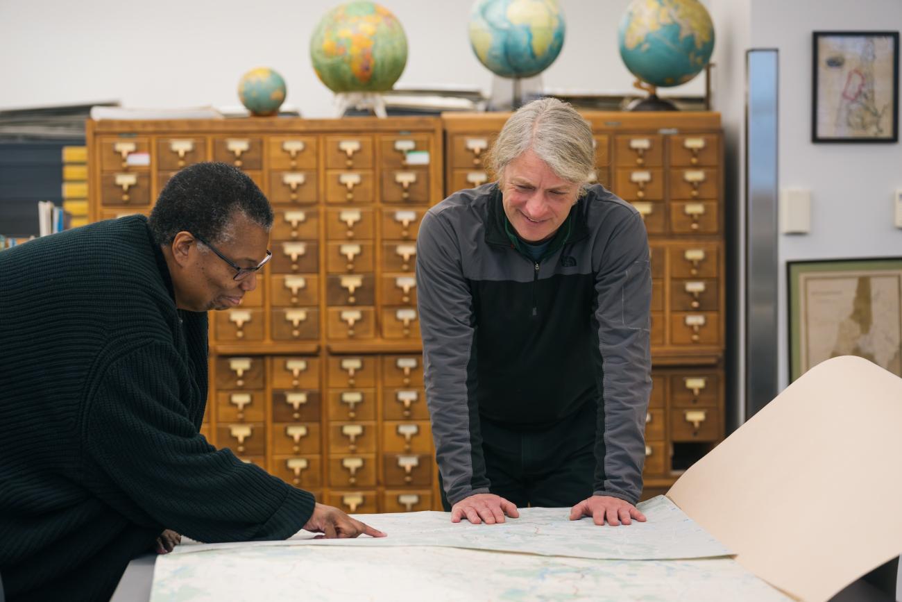
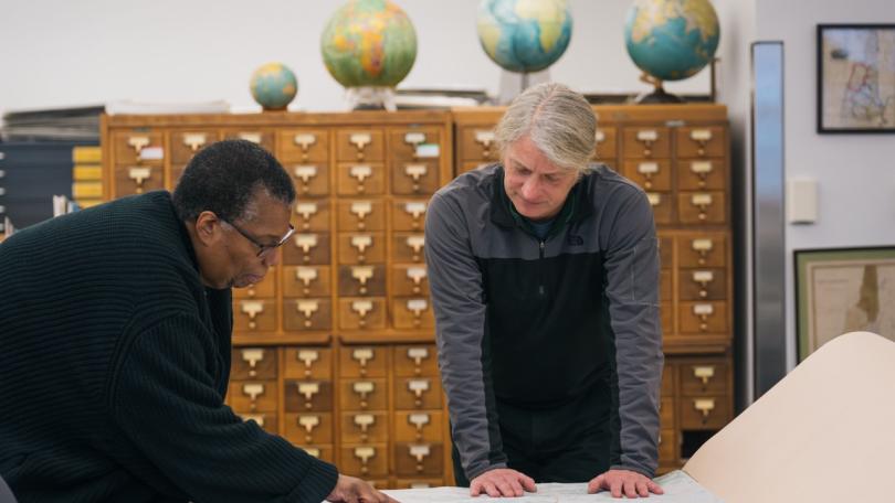
In the Evans Map Room, explore a collection of over 155,000 sheet maps and 2,000 atlases, books, journals, globes, aerial photos, and more. We also house some maps received through US Federal and Canadian depository programs, map reference materials, works on cartography, and gazetteers.
Visit Us
The Evans Map Room in Dartmouth Libraries provides access to print and digital map collections, GIS, and large format printing.
Get Help
In Person
Visit us, and we’ll be happy to answer your questions and access materials.
Phone
We are happy to help you over the telephone on (603) 646-2579.
We answer questions via map.room@dartmouth.edu, including questions about unique, Dartmouth-owned collections.