A collection of six maps that was printed at the beginning of the American Revolution for the use of British officers.
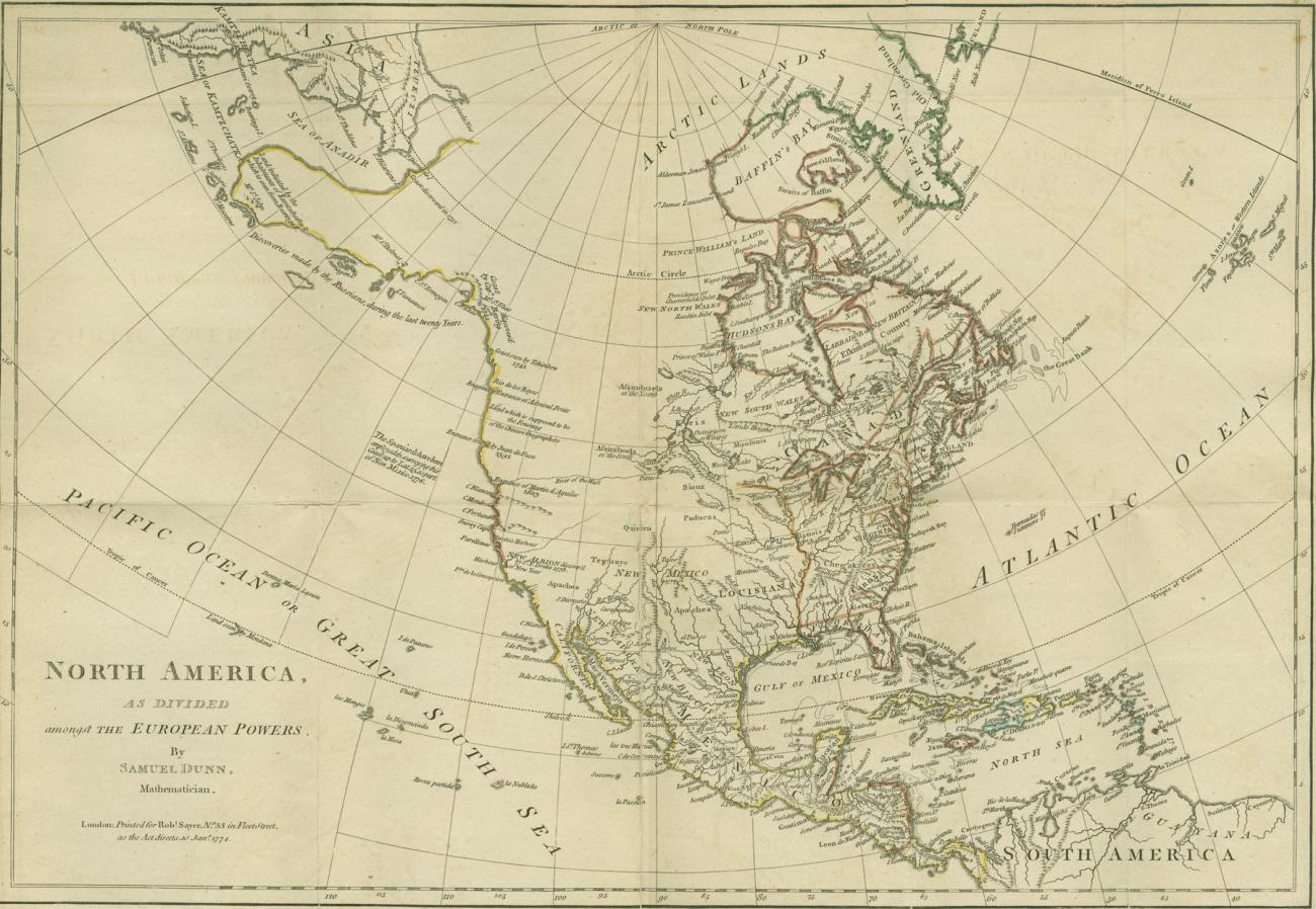
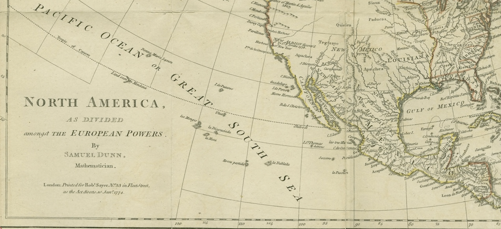
Map 1, “North America, as divided amongst the European Powers,” from The American military pocket atlas. Rauner Special Collections Library McGregor (5).
About
The American Military Pocket Atlas is a collection of six large, folded maps of British colonies printed at the beginning of the American Revolution. It was intended for the use of British officers, and its portable size allowed officers to bring the atlas into the field of combat. The maps depict North America, the West Indies, the Northern Colonies, the Middle Colonies, the Southern Colonies, and Lake Champlain. Together, they show the basis on which later campaigns were planned by the British during the Revolution.
The original copy is available at Rauner Special Collections Library by asking for McGregor (5).
Dartmouth Libraries assigns a Creative Commons BY-NC license to the digital work and associated web site.